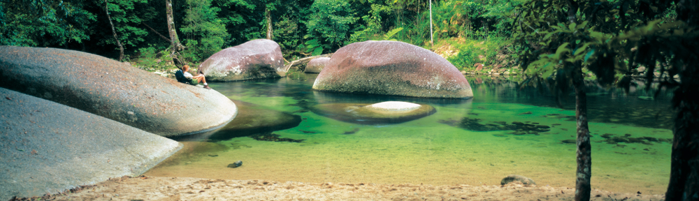
HIGHEST MOUNTAIN IN QUEENSLAND: 1622m
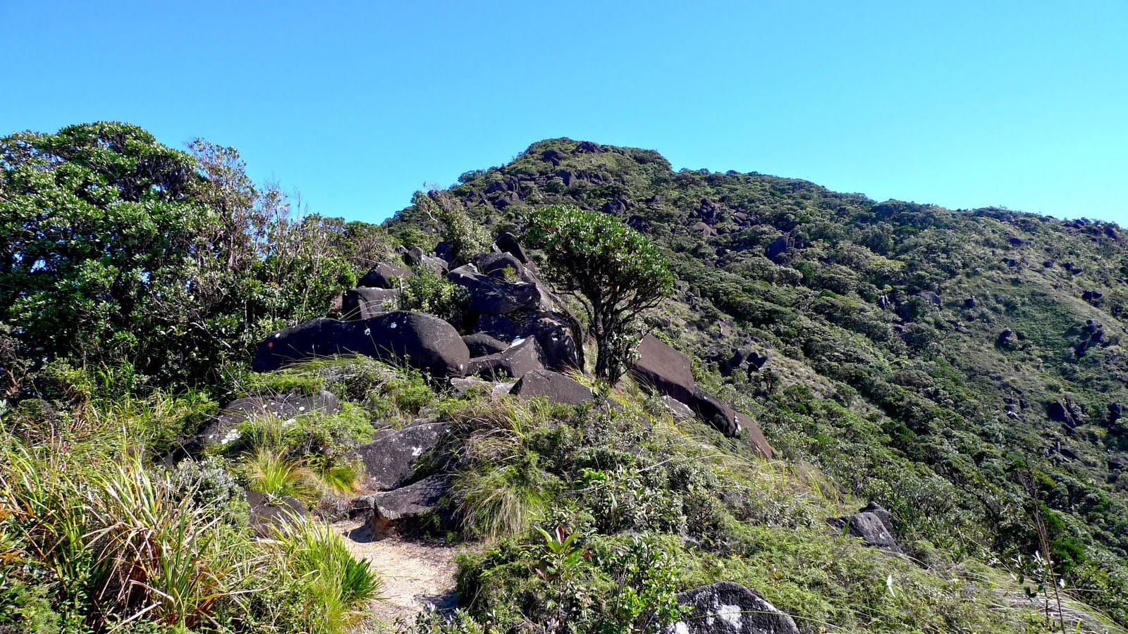
To undertake this walk you will need to:
*be fit and experienced to undertake this hike.
*have the correct maps and a compass.
*have adequate food and water.
*bring full camping gear
*bring clothing for extremely cold and wet weather.
*bring a fuel stove (no fires are permitted).
*give trip details to a responsible person
ALWAYS CHECK WEATHER CONDITION
REGISTER WITH QUEENSLAND NATIONAL PARK
- 70km south of Cairns are the highest mountains in Queensland, Mt Bartle Frere (1622m) and Mt Bellenden Ker (1593m).
- important water source for nearby townships and keep the vegetation looking lush and green.
- Trailhead to Bartle Frere begins at Josephine Falls Carpark
- Should only be undertaken by experienced hikers
- take a break at the crystal clear Majuba Creek – top up with water
- track is rough, rock scrambling, gnarled root systems
- environment – rainforest, boulders, creeks, scrubby
- from the granite slabs near the top can see spectacular views
- allow 2 days for the ascent to the summit.
- 2 overnight campsites and a permit from National Parks is required before you depart.
- Preparation is important for all hiking on Mt Bartle Frere – likely to encounter variable weather conditions (heavy rainfall, reduced visibility from cloud, cold temperatures and sudden weather changes)